
Overview
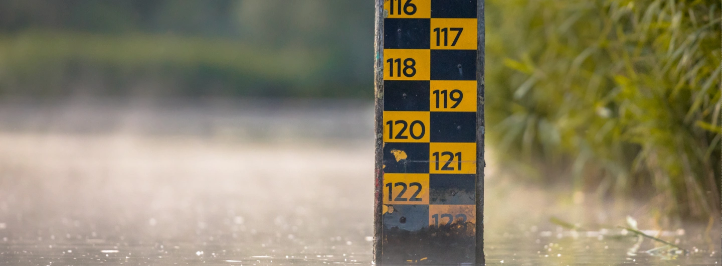
Water levels in rivers, canals, and lakes directly affect flood control, drainage safety, and urban operations. Traditional solutions often rely on separate level gauges, RTUs, and cameras, which are costly to deploy and difficult to maintain. By using integrated radar-and-video water level detection, authorities can obtain millimeter-level measurements, visualize on-site conditions, and link alarms with live images. This provides reliable real-time data for early warning, scheduling of gates and pumps, and long-term hydrological analysis.
Recommended Solutions
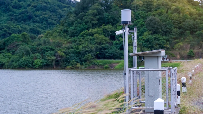
Install radar water-level detectors along key river sections, urban channels, culverts, reservoirs, dams, and sluice inlets/outlets to continuously track water depth and detect rapid rises or drops. The system filters out wave interference, supports configurable warning thresholds, and links alarms with live video views in the operation center. High-precision data is uploaded to hydrology or water-affairs platforms and combined with rainfall and upstream information for risk assessment. This enables early awareness of flood peaks, backflow, and blockages, and helps decision-makers optimize gate and pump control, discharge strategies, and emergency plans to protect infrastructure and downstream areas.
Application Topology & Advantages
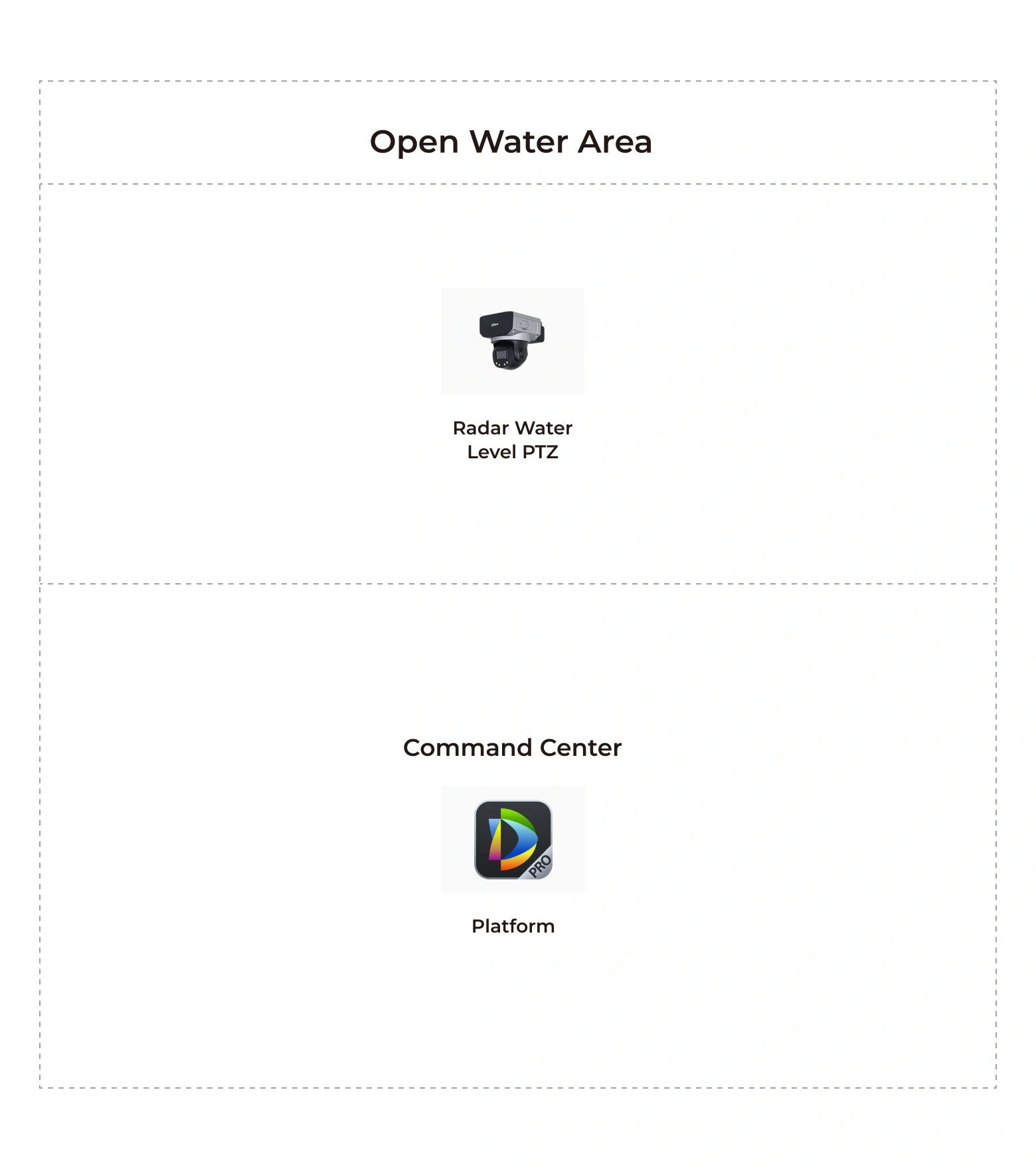
- Radar–vision fusion for accurate water level sensing
- Linked alarms and command-center visualization
- Data-driven flood risk assessment and dispatch